
Project Description
Hands-on Technical Workshop
ArcGIS Training / Emergency Services
Client: Jefferson County Office of Fire & Emergency Services
Technical POC: Mr Fred Lampman
Jefferson County Emergency Services 753 Waterman Drive Watertown, NY 13601 315-786-2654 flampman@co.jefferson.ny.usProject Period of Performance: 4/2011
Technology Employed:
- ESRI ArcGIS ArcView
- ArcGIS ArcCatalog
- ArcGIS Toolbox
- AutoCAD Integration
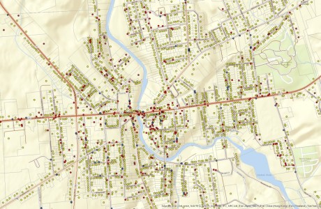
Project Description Vertex Geospatial conducted two days of on-site GIS training in support of the Jefferson County Emergency Management Office in Watertown, NY. During the course of conducting training exercises, Vertex Geospatial staff provided a series of classroom style lectures with technical hands-on workshop exercises using local datasets that addressed the following topics:
- Introduction to Geospatial data and the ArcGIS Environment (ArcMap, ArcCatalog & ArcToolbox)
- Performing spatial queries using tabular and graphic (map) tools
- Creating and sharing spatial bookmarks within map layouts
- Editing GIS data using the ArcGIS Editor toolbar
- Geocoded dispatch database from 911 database and created address points with owner information
- Adding AutoCad data and WMS base map layers to an ArcMap project
Project Details
- Client Jefferson County Emergency Services
- Date April 1, 2011
- Tags Emergency Services, Training
Comments are closed.