
Project Description
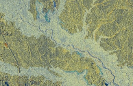
LiDAR Digital Surface Model, DSM
LiDAR Procesing / 3D Surface Modeling
Client: Hamilton College – Clinton, NY
Techncial POC: Mr David Tewksbury
Department of Geosciences Hamilton College Clinton, NY 13323 315-859-4709 dtewksbu@hamilton.eduProject Period of Performance: 11/2009
Technology Employed:
- ESRI ArcGIS ArcView
- ArcGIS 3D Analyst
- ASPRS LAS file format (LASTools)
Project Description Vertex Geospatial created a digital surface model for the Hamilton College campus using LAS LiDAR data collected as part of a larger Oneida County collection in the spring of 2008. The project was a proof of concept effort to assist the department of geosciences with establishing a baseline dataset for use in a class room exercise. LAS tiles were converted to multi-point features using the ArcGIS 3D analyst extension. An ESRI terrain feature dataset was then created from the multi-point data and stored in a file geodatabase. Software from Q-Coherent (LP360) was also used to facilitate viewing and manipulation of the raw LAS tiles.
Project Details
- Client Hamilton College - Clinton, NY
- Date November 2, 2009
- Tags LiDAR
Comments are closed.